

Familjehotell i Alton
 Ändra digBoka hotell med gratis avbokning
 Var kräsenSök bland nästan en miljon boenden i hela världen
Kontrollera tillgänglighet för Familjehotell i Alton
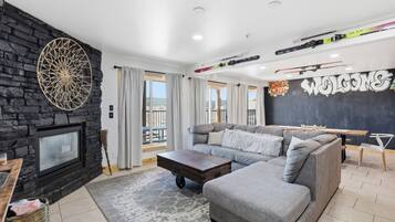
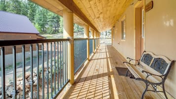
Våra rekommendationer för familjevänliga hotell i Alton


8.0 av 10, Väldigt bra, (1 005 recensioner)
“Good location. Proximity to food location. Enough parking place.”

Lokesh
Priset är 554 kr
inklusive skatter och avgifter
5 aug. – 6 aug.


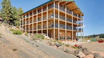
9.2 av 10, Underbart, (1 002 recensioner)
Priset är 1 230 kr
inklusive skatter och avgifter
8 juli – 9 juli


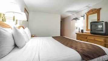
9.2 av 10, Underbart, (1 004 recensioner)
“Vi fick bo i deras king suit som var mycket rymlig med stort kök. Stället ligger ca 30 minuter från Bryce canyon national park. Hade hellre bott närmare parken så att man orkar åka iväg både för soluppgång och solnedgång samt att titta på stjärnorna. ”

Jeanette
Priset är 765 kr
inklusive skatter och avgifter
10 juli – 11 juli

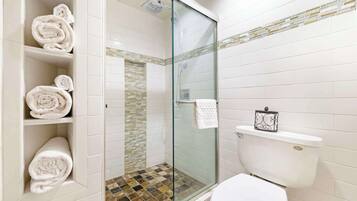
9.4 av 10, Enastående, (98 recensioner)
Priset är 3 715 kr
inklusive skatter och avgifter
13 juli – 14 juli
Lägsta pris per natt som vi hittade under de senaste 24 timmarna, baserat på 1 natt för 2 vuxna. Priser och tillgänglighet kan ändras. Ytterligare villkor kan gälla.